
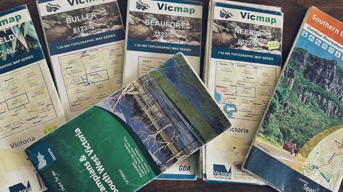
Understanding Topographic Maps & Their Importance
Topographical maps are a go-to item for navigation amongst the bushwalking community, because they are relatively simple to read (with practice, of course) and they provide a wealth of information relevant to the activities of bushwalkers that other maps do not.
Whether you’re heading to your local national park, or going on a road trip to hit the trails away from home, investing in a quality topographical map is going to be your best bet when it comes to safety and survival while bushwalking around Melbourne, throughout Australia or across the globe.
What is a topographical map?
A topographical map is set out much like any other map. It is a large sheet of paper, outlining an area with helpful information for people who need to find their way around. The difference between topographical maps and other maps though, is that a topographical map will show the steepness of any hill or mountain by showing the shape of the Earth’s surface through contour lines, as well as pinpointing both natural features and cultural features.
By utilising the information found on a topographical map including buildings, roads, mountains, rivers, deserts and other features, a bushwalker can successfully navigate their way through terrain that would otherwise be very easy to get lost in.
How to use a topographical map
Using a topographical map involves a few different skills including reading contour lines, map scales and other relevant information.
Contour lines
Contour lines indicate the steepness of terrain. If the contour lines are close together, the terrain is steep. If the contour lines are wider apart, the terrain is at a gentle slope. A contour line with smaller lines branching out from it indicates a decrease in elevation, rather than an upward slope. Contour lines also indicate the shape and height of the terrain through index lines and intervals.
Map scales
Map scales help the reader gain a rough estimate of hiking distances and how detailed the map will be according to the scale ratio. For example, if the scale ratio is 1:50,000 it means that 1cm on the map equals 50,000cm in real life. The lower the ratio, the more detailed the map is likely to be.
Map legends
A map legend helps bushwalkers identify particular features including gates, campgrounds, ranger stations, waterfalls, rivers, lookouts and more. The legend will also usually provide key information relating to contour lines and scale.
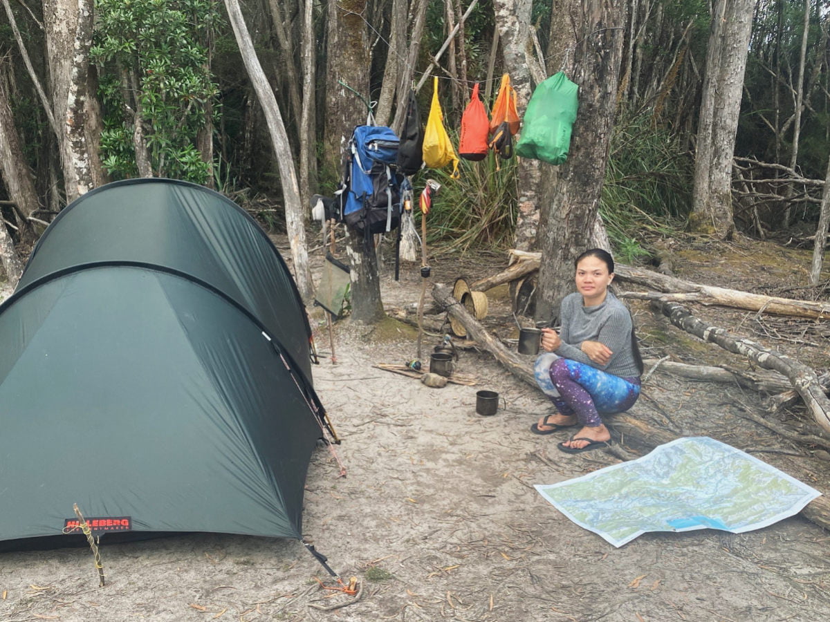
Tips for topography map care while bushwalking
Waterproof your map
Paper maps in rainy conditions do not end well. Look into waterproofing options for your map like a plastic ziplock bag, lamination or waterproofing sprays to avoid your map becoming soaked and unreadable in wet weather.
Keep your map in your pack while not in use
This is to protect the map from becoming lost or damaged while bushwalking. Always keep track of where your map is, whose pack it’s in and try to check it at least every 10 to 15 minutes to make sure you’re headed in the right direction.
What if you get lost without a map while bushwalking?
The number one rule if you get lost without a map when bushwalking or hiking is to keep a positive attitude. Don’t panic! Keep things calm.
Stop as soon as you realise you might be lost. If you keep walking around, it may be harder for people to find you.
Think about any landmarks or signs you should be able to see from where you think you might be. Try and remember which direction you were heading in.
Consider your situation. What is the weather like? How much longer until darkness hits? How much water and food do you have? Ask any other members of your hiking party how they are feeling and what they think the best course of action will be.
Make a plan. Don’t start trying to find your way without having a plan in place as you consider your situation.
To prevent yourself from becoming lost for long periods of time, always leave someone you trust with your hiking plan that outlines your expected walking route and what time you expect to be back, so they can send someone out to try and find you if you become lost.